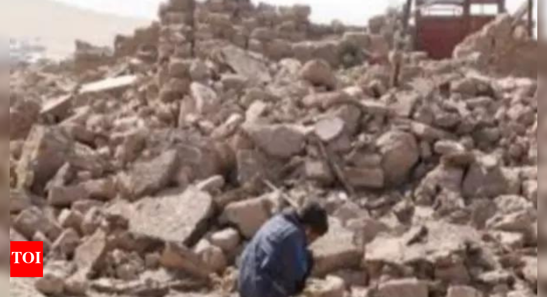
Mapping the scale of Uttarakhand carnage
Sediments that barrelled down the Kheer Ganga river and swept through the remote village in the upper reaches of Uttarakhand has also blocked a large span of the Bhagirathi river downstream, cutting off a significant part of its pathway, show the images from the National Remote Sensing Centre

Sediments that barrelled down the Kheer Ganga river and swept through the remote village in the upper reaches of Uttarakhand has also blocked a large span of the Bhagirathi river downstream, cutting off a significant part of its pathway, show the images from the National Remote Sensing Centre